


Shuttle Services
We provide shuttle services to Garberville Airport. Shuttle pick-ups must be arranged by calling 1-800-355-3301.
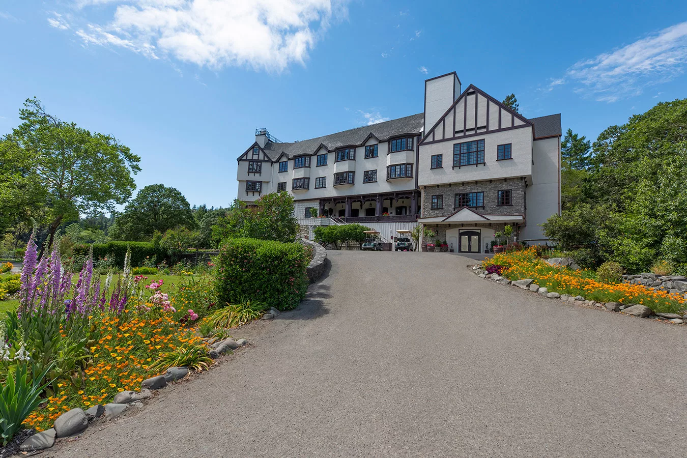
Electric Vehicle Charging Stations
If you’re driving an electric vehicle, we have charging stations available for a small fee. See our EV charging station amenity for more information.
Car Rentals
Car rentals are available at the Arcata/Eureka Airport through Hertz, National Car Rental and Alamo Rent A Car.
Enterprise Rent-A-Car
Arcata
Address: 350 I St, Arcata, CA 95521
Phone: (707) 826-9090
Eureka
Address: 110 5th Street, Eureka, CA 95501
Phone: (707) 443-3366
Hertz Local Edition Car Rental
Address: 530 B St, Eureka, CA 95501
Phone: (707) 839-2172
Hertz Rent A Car
Address: 3561 Boeing Ave, McKinleyville, CA 95519
Phone: (707) 839-2172
Located in the California Redwood Coast-Humboldt County Airport.
National Car Rental
Address: 3561 Boeing Ave, McKinleyville, CA 95519
Phone: (707) 839-3229
Located in the California Redwood Coast-Humboldt County Airport.
Surrounding Airports
Garberville Airport
Garberville Airport is a public airport located 2 miles southwest of the central business district of Garberville, a town in Humboldt County, California, USA. The airport covers 44 acres and has one runway.
Elevation: 546′ (166 m)
Phone: (707) 839-5401
Address: Sprowl Creek Rd, Mckinleyville, CA, United States
Arcata/Eureka Airport
Commercial service with connections to SFO. Arcata/Eureka Airport is a county owned, public airport in Humboldt County, California, located 8 miles north of Arcata and 15 miles north of Eureka, in McKinleyville, California.
(707) 839-5401
3561 Boeing Ave, McKinleyville, CA, United States
Shelter Cove Airport
45 Minutes from Benbow Historic Inn, Shelter Cove Airport is a public airport located one mile west of Shelter Cove, serving Humboldt County, California, USA. This general aviation airport covers 50 acres and has one runway.
Elevation: 69′ (21 m)
http://www.sheltercove-ca.gov/airport/airport.htm
9126 Shelter Cove Rd, Whitethorn, CA, United States
Sonoma County Airport (STS)
Just 2.5 hours from Benbow Historic Inn, Charles M. Schulz–Sonoma County Airport is a county-owned public airport 7 miles northwest of downtown Santa Rosa, in Sonoma County, California, United States. It serves the county and surrounding areas of northern California’s Wine Country.
Code: STS
sonomacountyairport.org
(707) 565-7240
Elevation: 125′ (38 m)
2200 Airport Blvd, Santa Rosa, CA, United States
Redding Municipal Airport
Located 4 hours from Benbow Historic Inn, Redding Municipal Airport is a city-owned public-use airport six miles southeast of Redding in Shasta County, California. It is one of two airports in Redding, the other being Benton Airpark.
Code: RDD
Elevation: 505′ (154 m)
(530) 224-4320
http://www.ci.redding.ca.us/transeng/airports/index.htm
Redding Municipal Airport, 6751 Woodrum Cir, Redding, CA 96002, USA
Mineta San Jose International Airport
Located 4.5 hours from Benbow Historic Inn. Despite San Jose being the largest city in the Bay Area, SJC is the smallest of the three Bay Area airline airports (8.4 million annual passengers in 2011), with less than a quarter of the passengers of San Francisco International Airport (SFO) and fewer passengers than Oakland International Airport (OAK). Like Oakland airport it attracts Bay Area residents who find SFO too distant from their homes.
SJC is a “downtown airport”, unlike SFO and OAK which are on opposite shores of San Francisco Bay. SJC’s convenient location is near downtown San Jose.
http://www.sjc.org
(408) 501-0979
2077 Airport Blvd, San Jose, CA, United States
Oakland International Airport
Located 3.5 hours from Benbow Historic Inn, Oakland International Airport is a public airport five miles south of downtown Oakland, in Alameda County, California, United States. It is owned by the Port of Oakland. It is one of three international airports in the San Francisco Bay Area.
(510) 563-3300
Oakland International Airport (OAK), 1 Airport Dr, Oakland, CA 94621, USA
Sacramento International Airport
Located 4 hours from Benbow Historic Inn, Sacramento International Airport (IATA: SMF, ICAO: KSMF, FAA LID: SMF) is a public airport 10 miles (16 km) northwest of downtown Sacramento, in Sacramento County, California. It is run by Sacramento County. Southwest Airlines currently accounts for half the airline passengers. In 2012 the airport handled 8,910,570 passengers.
http://www.smf.aero/
(916) 929-5411
6900 Airport Blvd, Sacramento, CA, United States
San Francisco International Airport
Located 3.5 hours from Benbow Historic Inn, San Francisco International Airport is an international airport located 13 miles south of downtown San Francisco, California, near Millbrae and San Bruno in unincorporated San Mateo County.
Code: SFO
Elevation: 13′ 0″ (3.96 m)
Hours: Open 24 hours
http://www.flysfo.com/
(650) 821-8211
San Francisco, CA, United States